
Point clouds your clients will actually open.
Host your scans, measure and analyse them, then deliver the result in the browser. Your client clicks a link — no software, no downloads, no waiting.
From the scanner to your client, in one place
Upload and show
The desktop app converts E57, LAS/LAZ or NavVis data and uploads it. Point cloud, panoramas and floors are ready to browse in minutes.
Process
Measure, check flatness, compute volumes, produce ortho plans and floor plans — in the same project, on the same data.
Share
Give each client exactly what they need: the whole project or a single area, with the tools you switch on for them.
01 · Show
Your scan, as it was captured
Large point clouds and 360° panoramas open straight in the browser — on a laptop, a tablet or a phone.
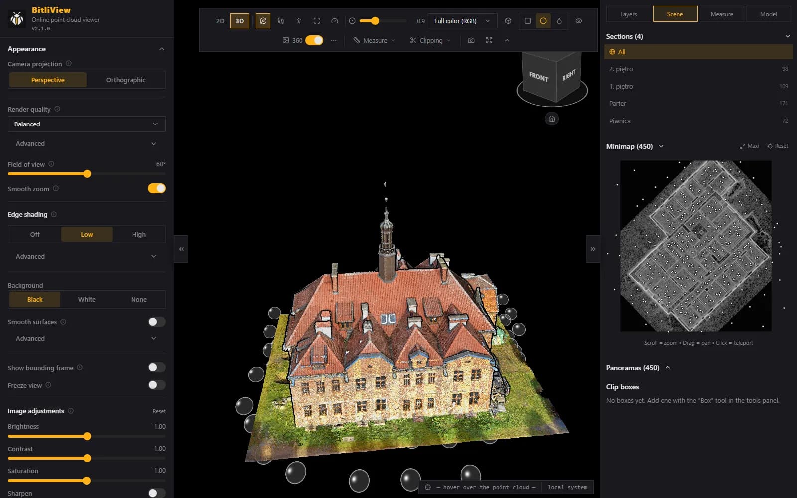
Point cloud viewer
Loads progressively and adds detail as you zoom in, so even very large scans open quickly.
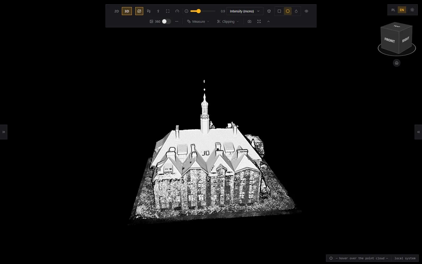
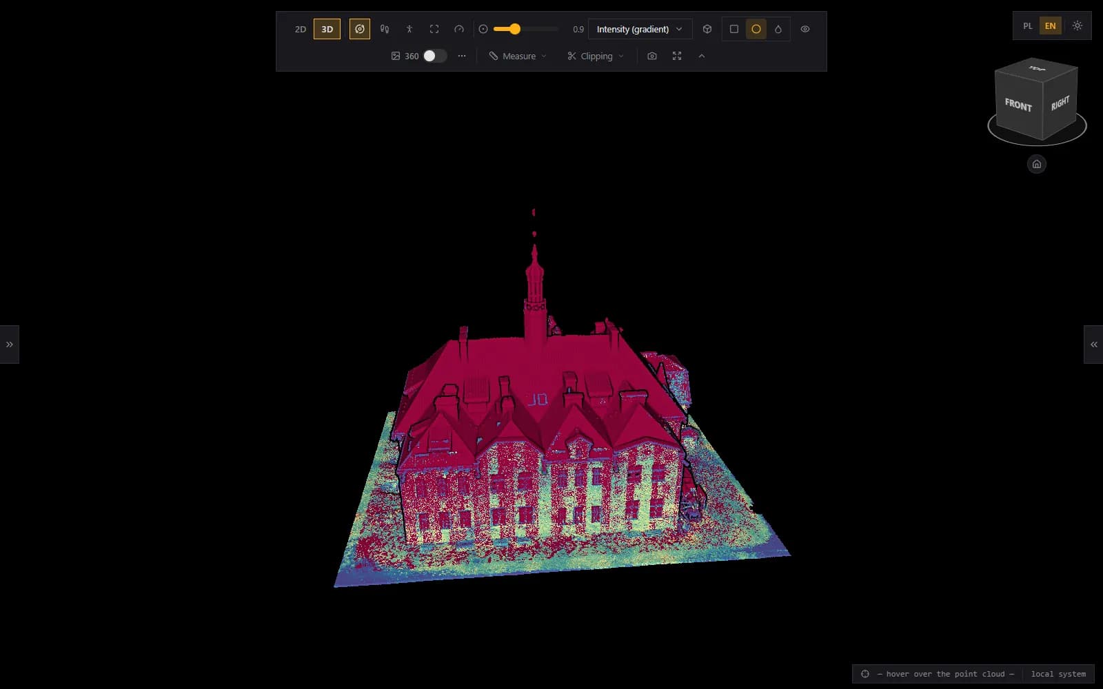
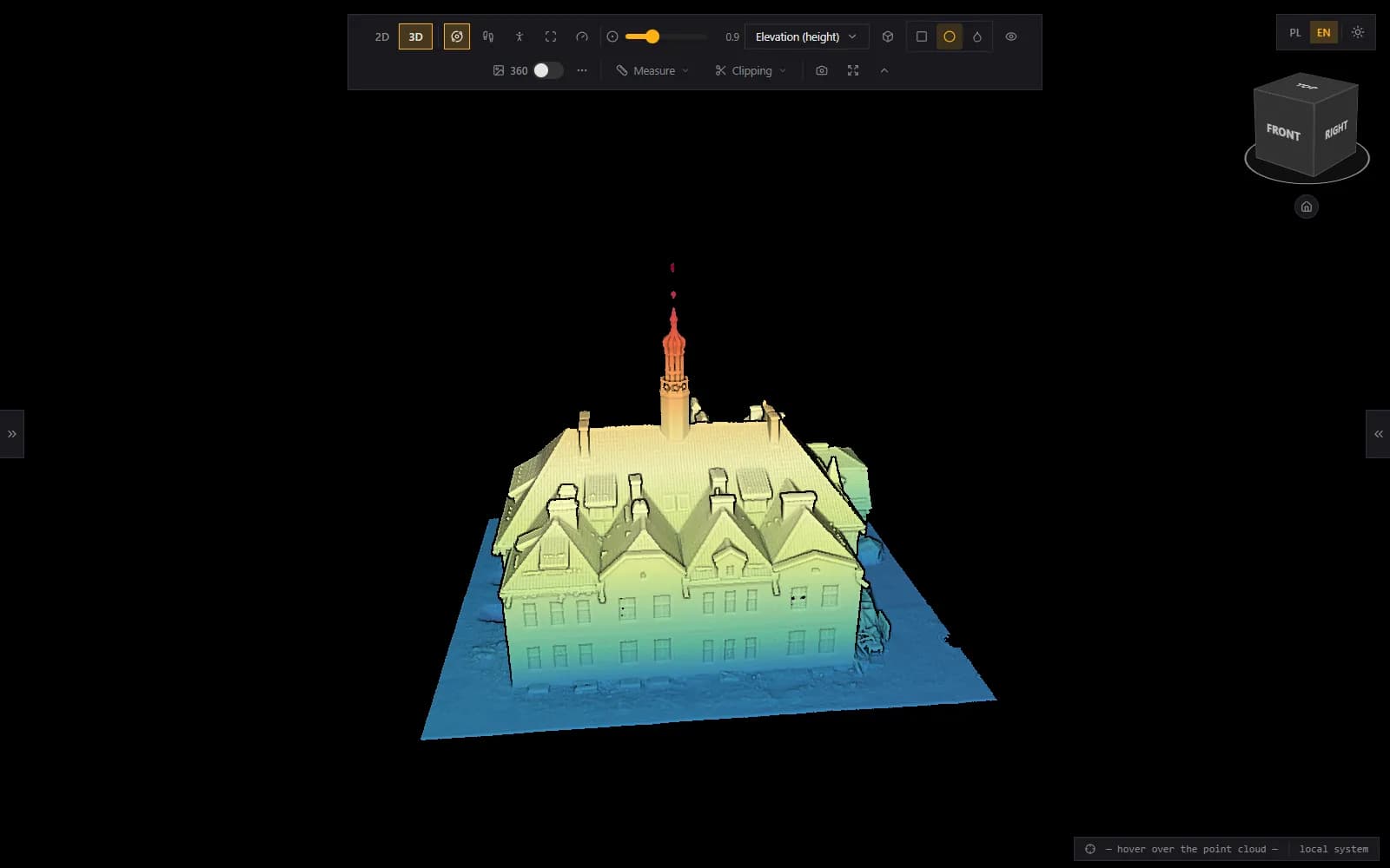
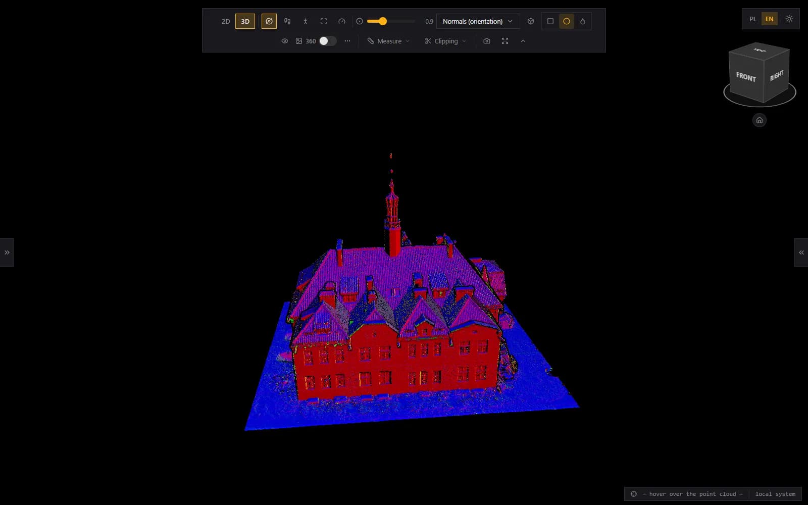
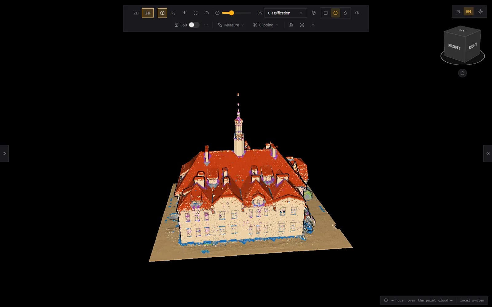
- Colour, intensity, elevation and classification modes
- Several point clouds in one project, with layers
- Floors and sections, minimap with panoramas
- Export the current view as an image
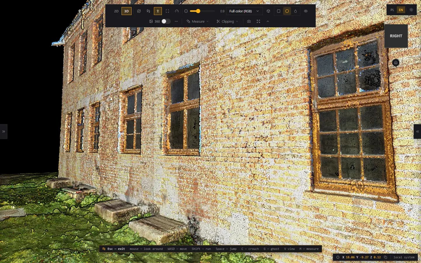
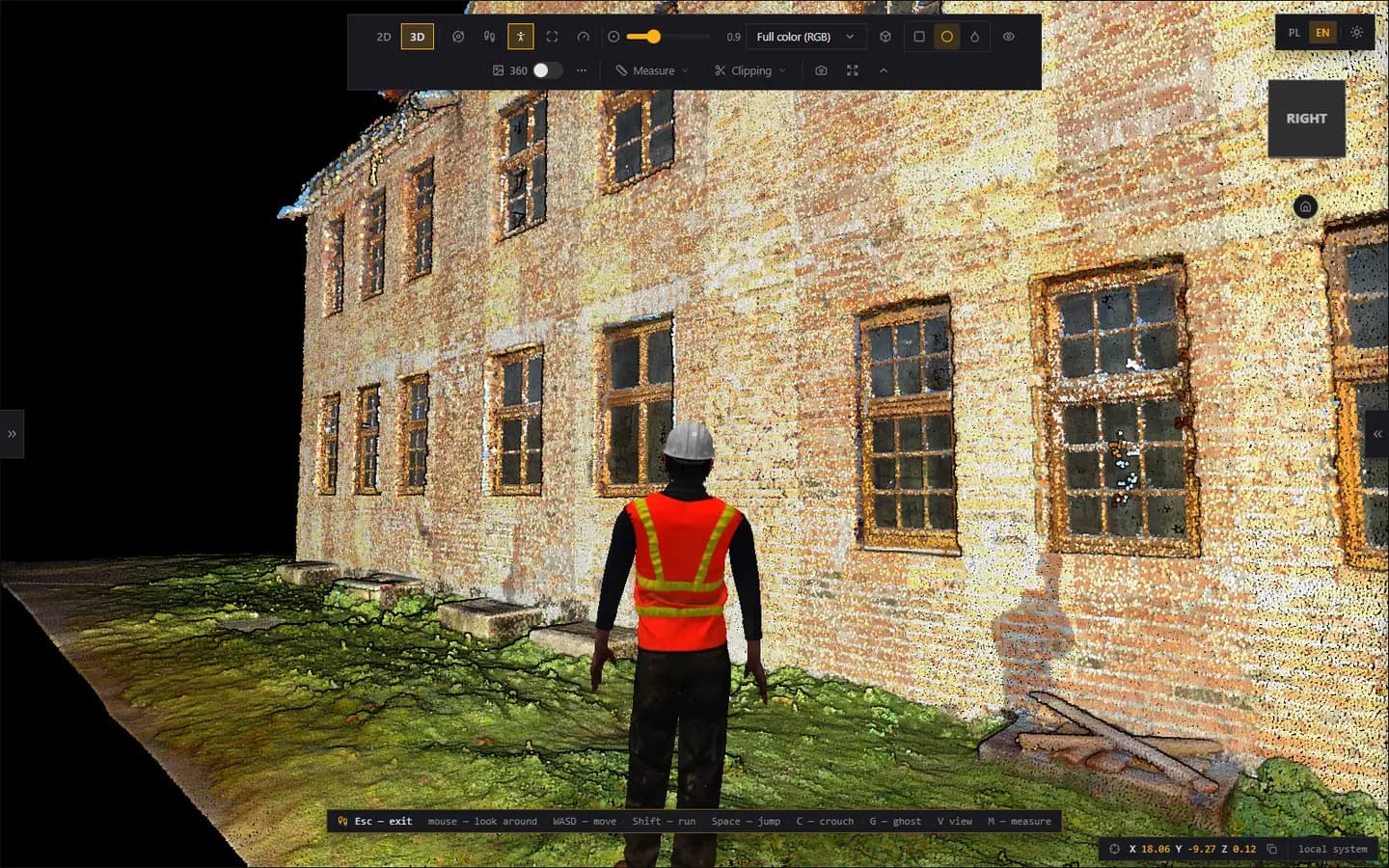
Walk through the cloud
Step into the scan and explore it on foot — first person, or as a site worker you can see on screen.
- First-person and third-person views
- Keyboard, mouse or on-screen joysticks
- Measure without leaving the walk
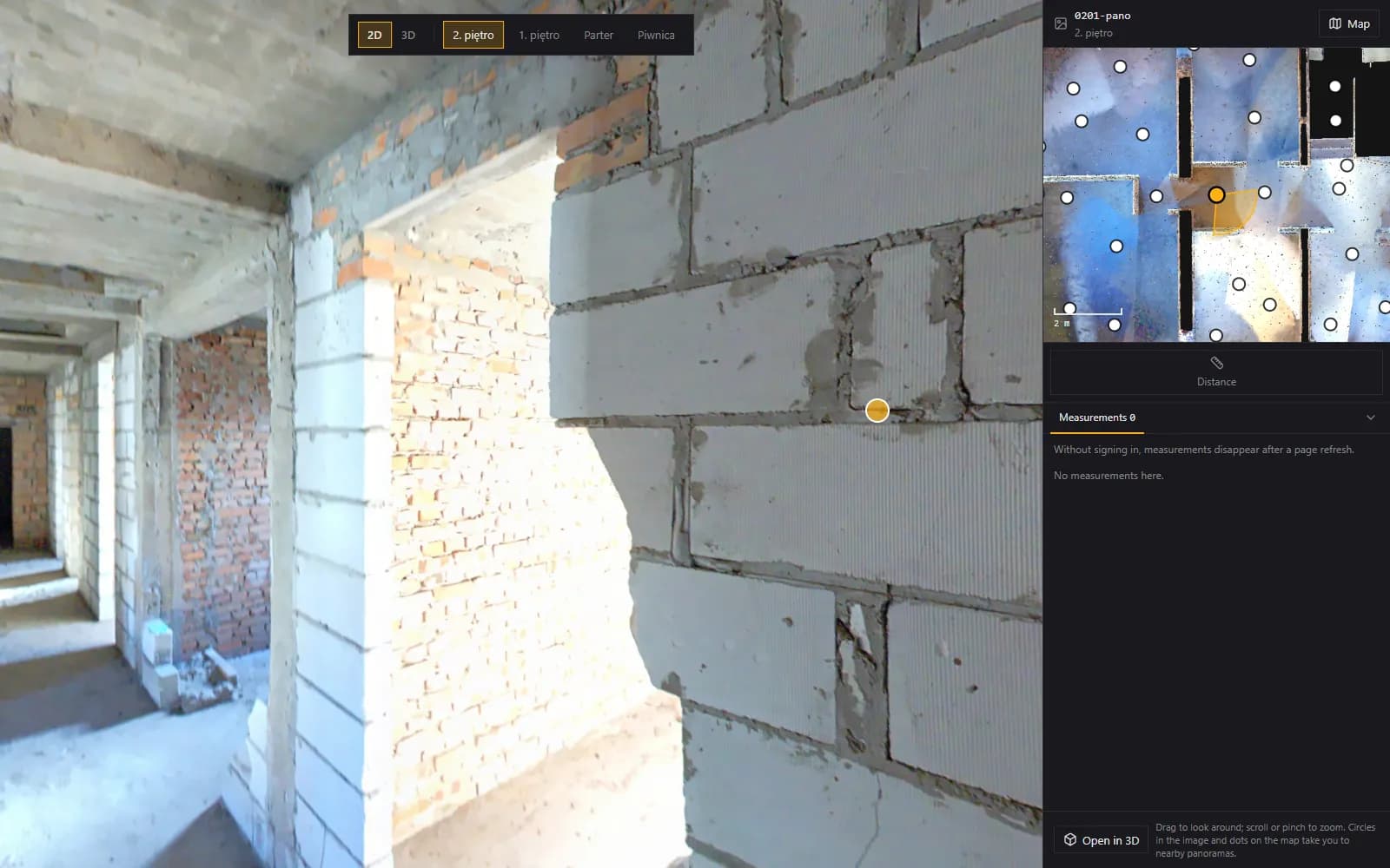
360° panoramas
Panoramas sit exactly where they were taken. Jump from the cloud into a photo and back.
- Measure directly on the panorama
- Face and licence-plate blurring: detection plus your approval
- Originals never reach the client
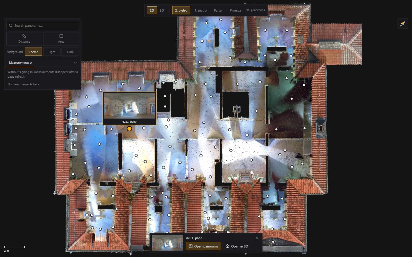
2D view
Switch between 3D and a floor-by-floor map with panoramas and measurements on it.
- Buildings and floors
- Panoramas and measurements on the map
- Floor plan library
Also in this group
Virtual tours
Build a guided tour from panoramas in a visual editor and share it like a website.
- Hotspots, info cards, navigation arrows
- Minimap with numbered markers
- Cover screen, transitions, video
- Full offline export
Georeferenced clouds
Clouds in a real-world coordinate system keep their coordinates — measurements read in the survey's own system.
- Coordinates in the project's system
- Project location on the map
Video clips
Set camera keyframes and render a fly-through of the scan as a video for presentations and reports.
- Keyframes from saved views
- Orbit around a point
- Film saved with the project
Display modes
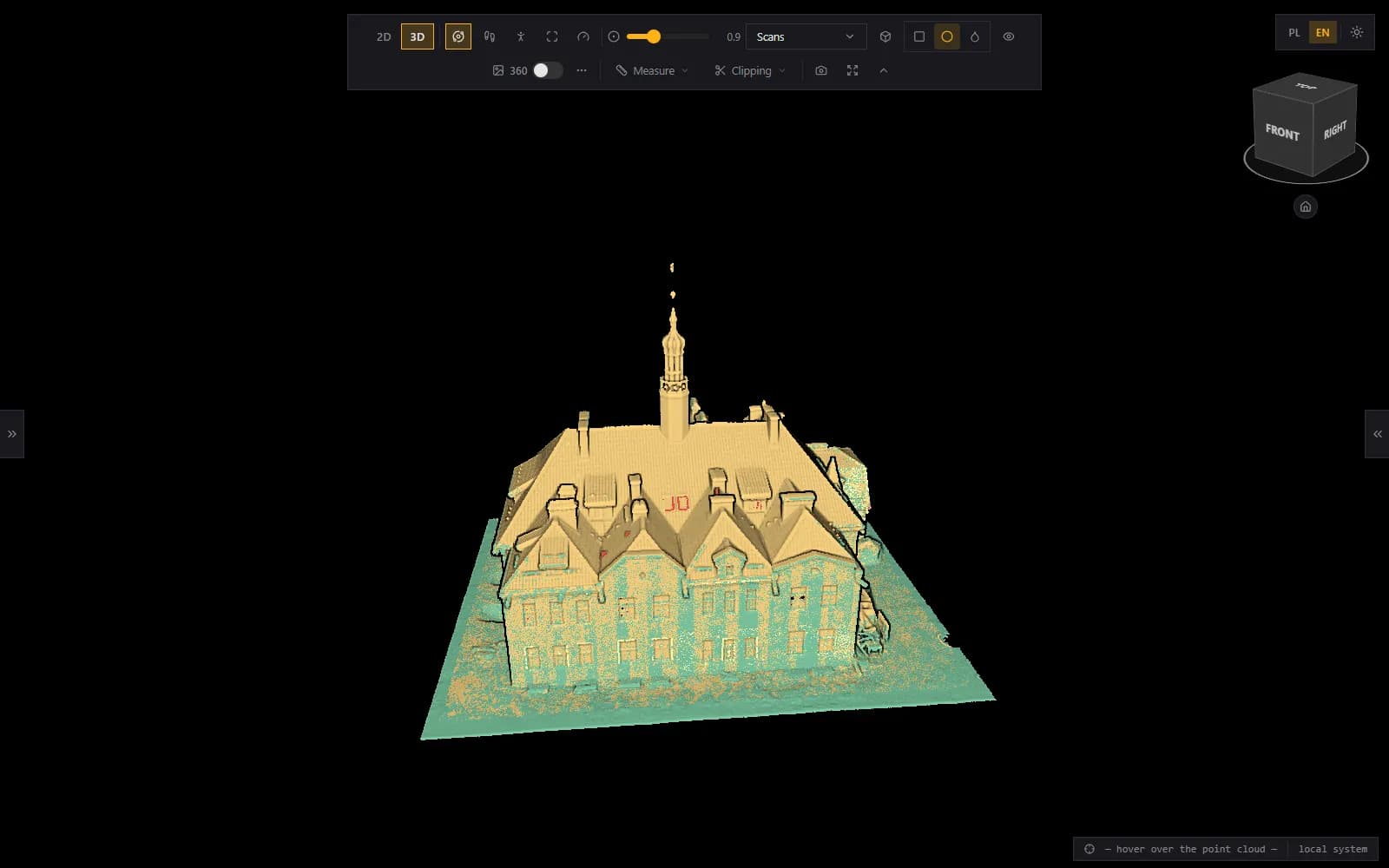
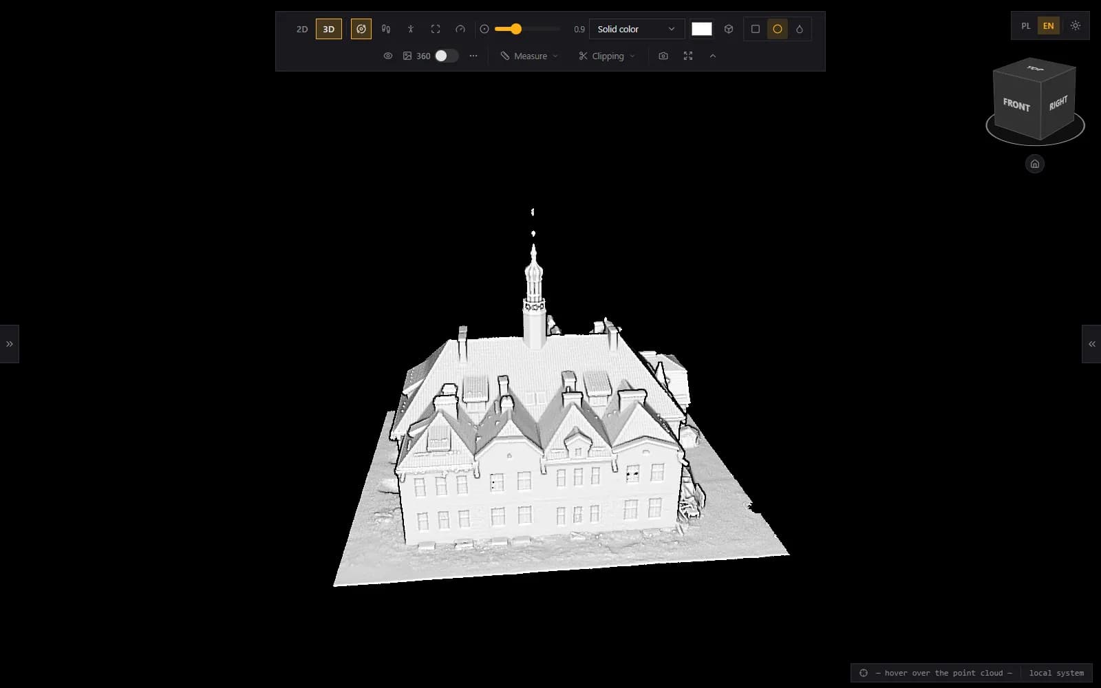
One scan, eight ways to read it
Switch how points are coloured and the same data answers different questions.
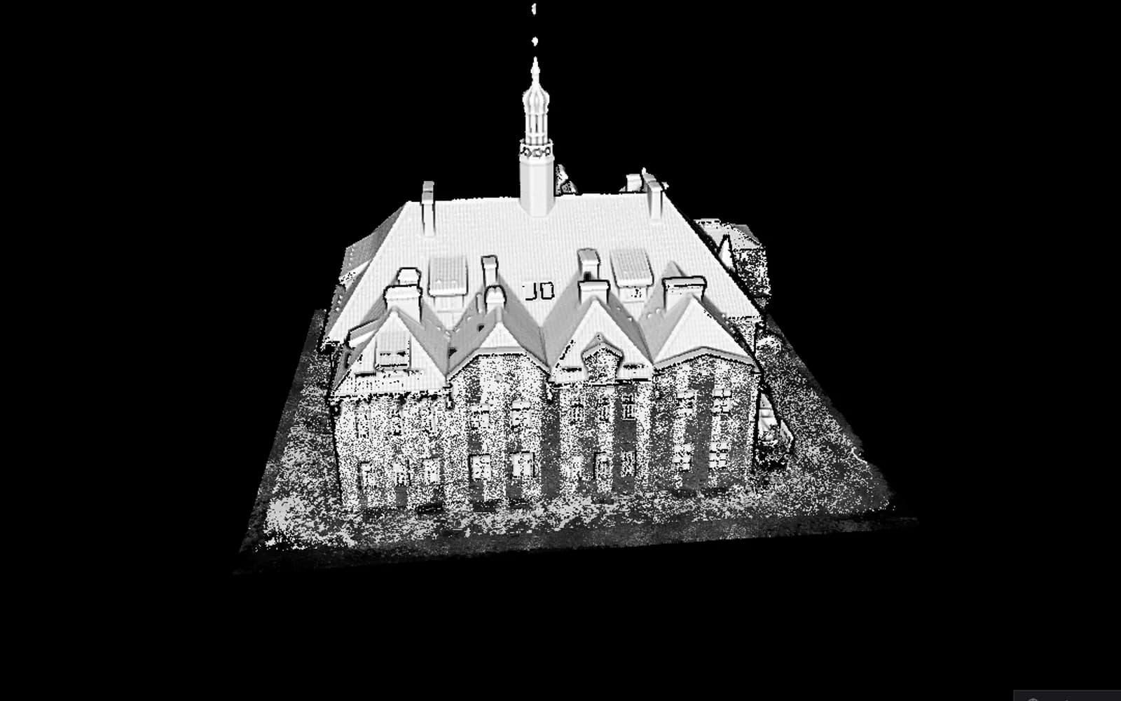
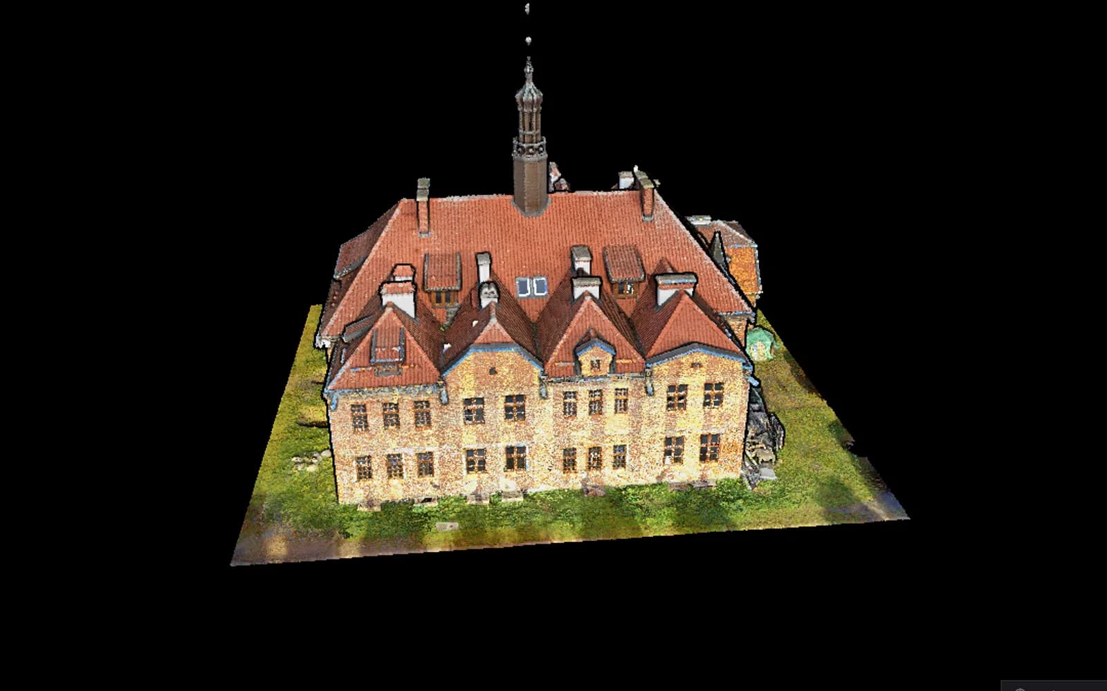
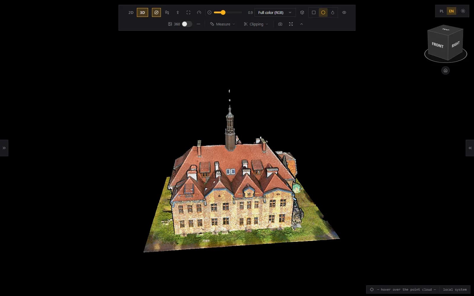 01 / 08 · Full colour
02 · Process
Engineering work on the same data
The tools a scanning project actually needs, without exporting to another program first.
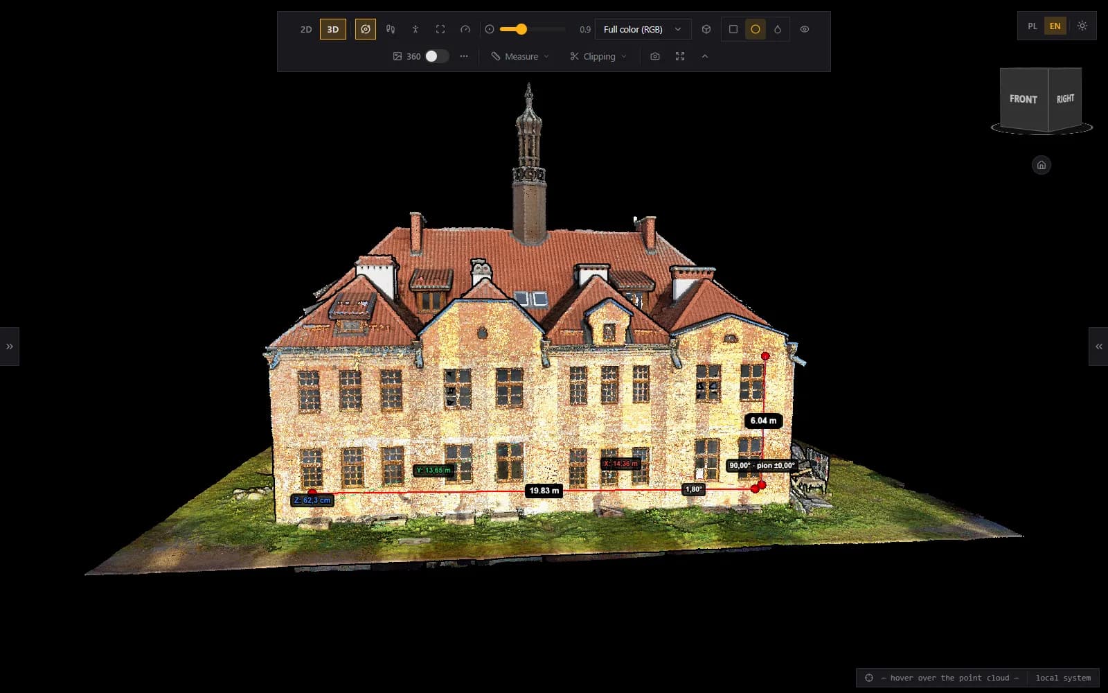
Measurements
Distance, height, angle and area — saved with the project and exported to PDF.
- Vertical measurement with X/Y/Z components
- Horizontal measurement
- Edit vertices with undo
- Per-user measurement list
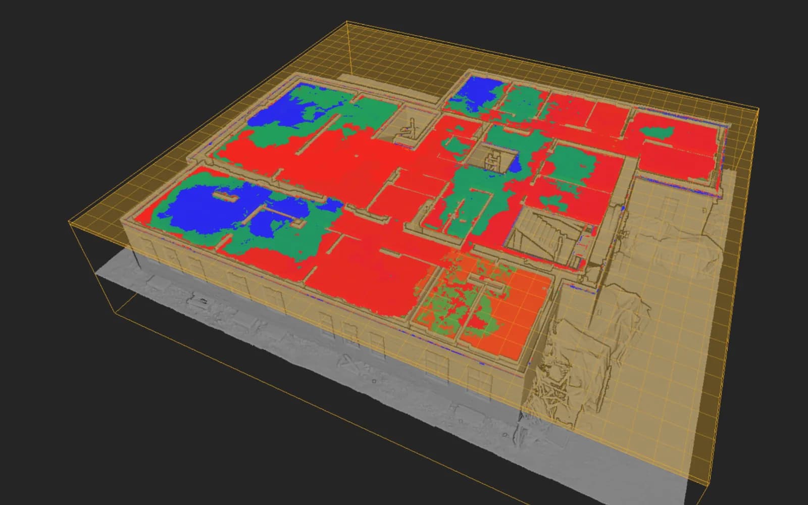
Flatness and plumbness
Deviation maps for floors and walls, ready for a report.
- Contours in 2D, spot elevations in 3D
- Slope map and terrain mode
- Your own check points
- DXF, CSV and PDF export
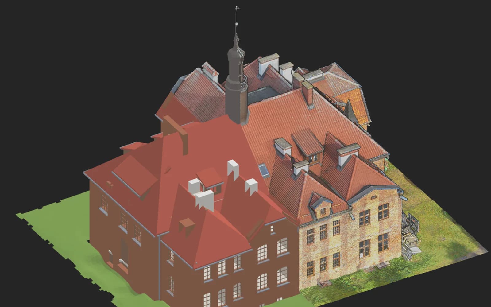
BIM models
Load IFC or GLB into the scene and compare the model with the scan.
- Element properties on click
- Element tree and colours
- Measure on the model
- Saved views
Also in this group
Volumes
Cut and fill against a reference plane — stockpiles, excavations, rooms.
- Area drawn on the cloud
- Result straight in the viewer
Ortho plans and floor plans
Orthographic images and plans generated from the cloud, processed in the background.
- Exactly what you see in the view
- Full point density
- Plan library in the project
Classification
Show the cloud by class and correct classes by hand.
- Class panel per point cloud
- Class editor
- Class dictionaries for your company
Sections and clipping
Cut the cloud and the model with boxes and sections to see inside.
- Clip boxes for cloud, model or both
- Sections
Who it's for
Laser scanning companies
Deliver every project the same way: one link instead of hard drives and viewers to install. Your client opens it, you control what they see.
Surveyors
Measure, check flatness and produce plans on the scan itself, then share the result together with the data it came from.
Teams working with point clouds
BIM coordination, as-built documentation, facility management: everyone works on one copy of the data, in the browser.
Your data, your client's data
Scans show real buildings and real people. We treat them that way.
Separated per company
Each company's projects are isolated at the database level.
Clients see only what you share
Panoramas, 2D maps and tools outside the share are not sent; the point cloud is clipped to the area in the viewer.
Anonymised panoramas
Faces and plates are detected and blurred after your review; originals stay with you.
Servers in the EU
Application servers and data storage are located in the European Union.
Questions
Which formats can I upload?
Data from terrestrial, mobile, handheld and aerial scanners and from photogrammetry — any point cloud exported to E57, LAS or LAZ — plus NavVis datasets, 360° panoramas (also embedded in E57) and IFC or GLB models.
Does my client need to install anything?
No. Everything runs in a web browser on a computer, tablet or phone.
Can I share only part of a project?
Yes. You choose an area of the point cloud, the floors visible in 2D and the tools the client can use.
Can my client download the original data?
Only if you allow it. Downloads are off by default, counted, and can be blocked at any time.
Where is the data stored?
On servers in the European Union.
How do I get access?
Join the waitlist. We are opening access gradually and will contact you with an invitation.
Early access
Join the waitlist
Leave your email. We will get in touch with an invitation when we open access for your company.